Circle K, 5500 Sunset Boulevard: June 2019 5 comments
When commenter Brad mentioned
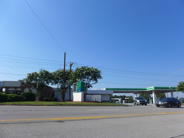
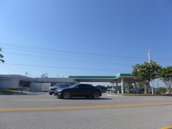
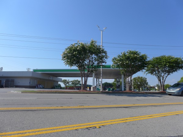
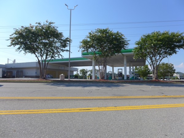
Circle K/BP at the corner of Old Cherokee and 378 in Lexington is permanently closed.
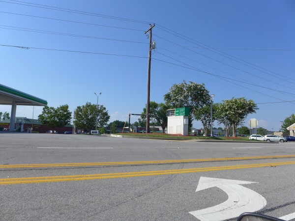
I had a hard time finding it because as far as I could tell from Google Maps, Old Cherokee Road didn't intersect with 378. I resolved to just keep my eyes open the next time I was out in Lexington, and did see the store as shown in the pictures above (not very good as I was going the wrong way and was too late to turn in).
Anyway, for whatever reason, unless you zoom way in, Google identifies this stretch of Old Cherokee only as State Rd S32-485, though it has no problem with correctly labeling stretches of the road to the west.
As for Circle K, they have been razing and updating a lot of their stores recently. We'll see if this one gets the same treatment.
(Hat tip to commenter Brad)
5 Responses to 'Circle K, 5500 Sunset Boulevard: June 2019'
Subscribe to comments with RSS or TrackBack to 'Circle K, 5500 Sunset Boulevard: June 2019'.
-
ED
3 Jul 19 at 8:54 am
-
This isn't the first time I've seen Google Maps use the State road number mentioned in identifying a road number and I can see where it is confusing for someone trying to get somewhere as the numbers aren't prominently displayed the way the names are...
The thing I've noticed is that SCDOT has a MO with the roads they maintain that aren't US or SC highways (i.e. US 378, SC 6, etc.) of numbering them with a county number and then a road number...SCDOT's traffic count site actually refers to street numbers...an example is that Leaphart Road is S-32-30...32 refers to Lexington County and 30 is the number for Leaphart Road...so apparently Old Cherokee is Road #485 but that isn't as known but I think Google is trying to phase them into their maps but since I'm not on the team responsible I can't speak fully to the method to the madness...
Andrew
3 Jul 19 at 9:52 am
-
I think back in the 70s this location was a Hess station. Driving to the end of Old Cherokee was an area used for parking and a short river trail led to a tree swing that would send you plunging into the middle of the river.
Joe Shlabotnik
3 Jul 19 at 10:12 pm
-
The pumps (and possibly the tanks) were removed early last week. I thought Circle K might just be razing the building and rebuilding to match their newer locations, but if they removed the tanks, I have to wonder if that is the case. The heavy equipment left after the pumps were removed.
JamesR
24 Jul 19 at 12:13 am
-
I took a look at google maps, and it seems that while on Old Cherrokee Road that as of July 2019, the canopy has been razed. I wonder what they are going to do with the site.
Anthony
30 Mar 20 at 8:14 am
@ted – That’s strange about Google Maps, especially considering the address for both the nearby Publix and Goodyear is Old Cherokee.
The talk on some of the local FB groups is that the lease was up and the landlord raised the rent to the point where they had to shut down. There is also a rumor that this location will be turned into a Popeye’s restaurant. I find it hard to believe that a gas station that is open 24 hours a day with just a couple of employees could not afford the rent but a lower end fast-food place could. Although Popeye’s does have some good cinnamon apple pies. Time will tell I guess.